 follow us
As winter approaches, meteorologists are raising alarms about the potential for an unpredictable and active season in 2026/2027. The emergence of a strong
Long-range weather models are beginning to show indications that the Polar Vortex may weaken during the peak of winter, particularly around January 2027. While a disrupted Polar Vortex does not guarantee extreme cold or heavy snowfall across all areas, it does heighten the likelihood of Arctic air spilling southward into parts of the United States, Canada, and Europe. According to Severe Weather Europe, three critical factors are currently under scrutiny for their potential influence on the upcoming winter: the developing Super El Niño, the
Super El Niño's Impact on Weather Patterns
The most significant concern arises from the developing El Niño phenomenon in the Pacific Ocean. Forecast models suggest that ocean temperatures in the tropical Pacific could exceed average levels by more than 2 degrees Celsius, reaching thresholds typically associated with a Super El Niño. Such events can alter global weather patterns by modifying atmospheric pressure systems and jet stream movements. Historically, winters characterized by strong El Niño conditions have been correlated with an increased likelihood of Sudden Stratospheric Warming (SSW) events, which can weaken or disrupt the Polar Vortex.
A weakened Polar Vortex may facilitate the southward movement of frigid Arctic air, potentially leading to colder conditions in parts of North America and Europe.
Atmospheric Dynamics and Arctic Sea Ice Decline
Another atmospheric element being monitored is the Quasi-Biennial Oscillation, or QBO, which represents a natural cycle of changing wind directions in the tropical stratosphere. Current observations indicate a westerly QBO phase, typically associated with a stronger and more stable Polar Vortex. However, experts caution that during a robust El Niño event, the QBO's influence may diminish as powerful atmospheric waves from the Pacific interact with polar circulation, complicating the winter forecast.
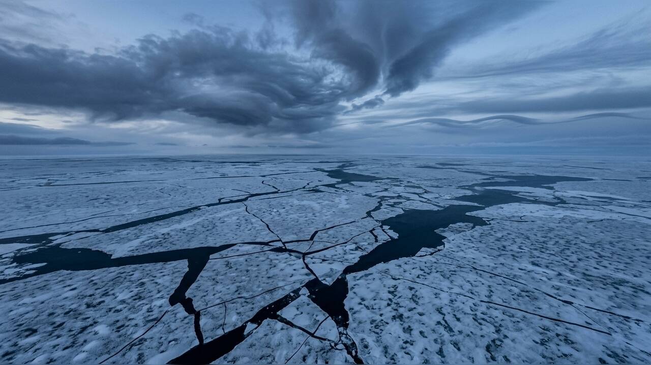
Additionally, the decline in Arctic sea ice is emerging as a significant factor in winter predictions. Scientists have established a connection between low sea ice levels, particularly in the Barents-Kara Sea region, and atmospheric changes that can weaken the Polar Vortex. When Arctic ice levels fall below normal, the heat exchange between the ocean and atmosphere can disrupt large-scale pressure patterns and wave activity, potentially impacting stratospheric circulation.
While a major disruption of the Polar Vortex does not guarantee a harsh winter for every region, it can disturb the jet stream, allowing colder Arctic air to move southward. Previous disruptions have been linked to colder-than-average temperatures and increased snowfall across parts of the US, Canada, and Europe. As forecasters continue to analyze the interplay of these factors, the outlook for Winter 2026/2027 remains uncertain, with early signals suggesting a potentially volatile season ahead.