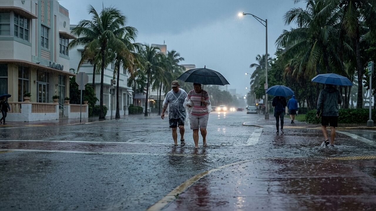
Residents across South Florida are bracing for a second consecutive week of persistent daily downpours, with meteorologists warning of a heightened risk of flooding as a low-pressure system funnels significant
The atmospheric conditions, characterized by a low-pressure system in the upper levels, have created a highly saturated environment. Forecasters Sammy Hadi of the National Weather Service and Lissette González of CBS News Miami have advised that the region should prepare for consistent precipitation, with the most intense storm activity anticipated through Wednesday. During this period, the National Weather Service has identified a marginal risk of excessive rainfall each afternoon.
Forecasted Rainfall and Regional Impact
Current projections suggest that most areas across South Florida will see between 2 and 6 inches of rainfall over the next seven days. However, officials have highlighted a reasonable worst-case scenario—estimated at a one-in-ten probability—where some locations could receive between 6 and 15 inches of rain by next Monday. Fort Lauderdale is currently identified as a potential hotspot for the heaviest precipitation, with the Climate Prediction Center forecasting between 5 and 7 inches of rain for the city, and a worst-case possibility of 8 to 10 inches through Saturday.
The daily forecast shows a high likelihood of storms, particularly during the afternoon and evening hours. Wednesday is expected to be the wettest day of the week, with the National Weather Service placing the probability of storms at 88 percent. Throughout the remainder of the week, including the weekend, rain probabilities are expected to hover between 60 and 80 percent, with peak activity generally occurring between 2 p.m. and 7 p.m. daily.
Tropical Storm Fay Status
While the region deals with local weather instability, authorities have clarified that Tropical Storm Fay, currently situated over open Atlantic waters, does not pose a threat to South Florida. According to the National Hurricane Center, the storm’s maximum sustained winds had decreased to approximately 65 mph as of Monday morning. Meteorologist John Cangialosi noted that the system is expected to continue weakening and may transition into a post-tropical cyclone within the next 48 hours. As the system remains over open water, it is not expected to impact the weather conditions currently affecting the Florida peninsula.