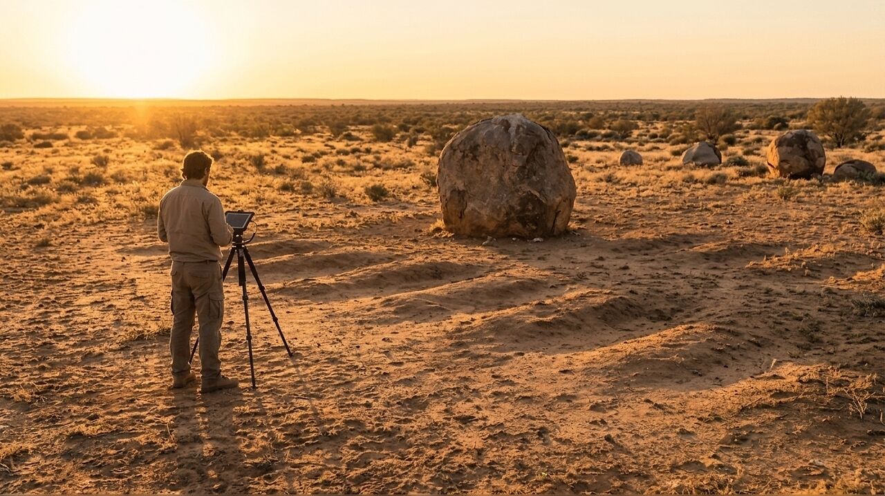
A comprehensive survey of two remote cemeteries in Australia’s outback has uncovered 658 previously unidentified burial sites. The project, commissioned by the
The initiative focused on the historic burial grounds at White Cliffs and Menindee. According to the council, investigators identified 338
Non-Invasive Mapping of Historic Sites
To conduct the survey, the council engaged Hunter Geophysics, a firm specialising in the detection of forgotten or unmarked graves. The project, which commenced in July 2025, relied entirely on non-invasive scanning techniques. This approach allowed the team to identify subsurface burial features without the need for excavation, preserving the integrity of the sites while establishing a clearer record of the cemeteries' layouts.
While the scanning technology successfully located the burial sites, the council noted that the identities of the individuals interred in these graves remain unknown. The passage of time has resulted in a loss of records, meaning the project could confirm the existence of the graves but not the names or personal histories of those buried within them.
Heritage Preservation and Future Management
The primary objective of the survey was to improve the management of regional burial grounds, which serve as significant repositories of local history. By mapping these previously invisible sites, the Central Darling Shire Council aims to ensure that future planning respects the sanctity of the cemeteries. This data is expected to be vital for ongoing heritage conservation efforts, as it allows the council to distinguish between occupied and unoccupied land within the cemetery boundaries.
Beyond the technical mapping, the council has taken steps to acknowledge the individuals whose final resting places were previously unrecorded. At the